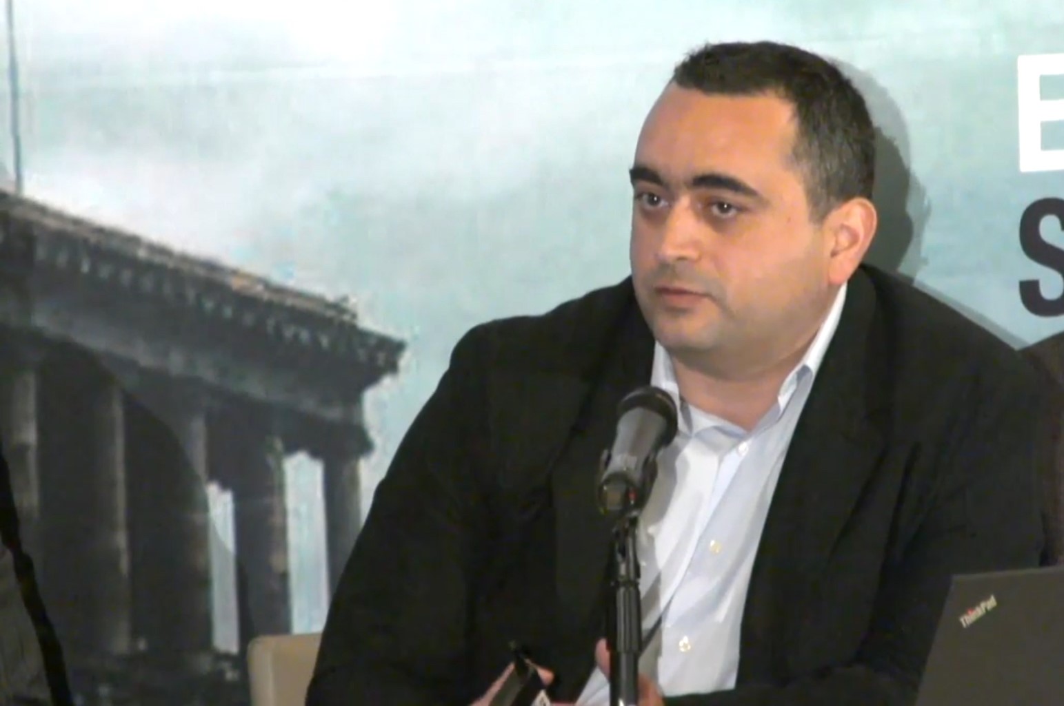
CivilNet’s Tatul Hakobyan interviews Emil Sanamyan, a Washington-based specialist on Karabakh and editor of the Focus on Karabakh news site, a project of the USC Institute of Armenian Studies.
– One ruling Republican Party member of parliament, Mihran Hakobyan, recently claimed that during Serzh Sargsyan’s Presidency, the Armenian army took control of 200 square kilometers of land in Armenia-Nakhijevan border. His comment came after criticism that during Sargsyan’s presidency Armenia and Karabakh lost 8 square kilometers. We know that there were some changes in 2014 or 2015 in favor of Armenia, but can we really talk about 200 square kilometers (or 20,000 hectares)?
– The entire length of Armenia-Nakhijevan border is less than 200 kilometers. While there were some redeployments made in the direction of Nakhijevan, specifically in the area southwest of Sisian, the area in question is roughly between 10 and 20 square kilometers (or 1,000 to 2,000 hectares). By the way, a similar redeployment happened in June 2008, when Armenian forces moved up positions to Mt. Gyamish (Gomshasar) on the Mrav Mountain.
– What is the difference between 20,000 hectares and 800 hectares strategically and militarily?
– If the question is about territorial changes in Sisian or Mrav areas compared to the outcome of the April war of 2016, then the positions in Sisian and on Mrav are on higher elevation and one could say more strategic, giving Armenian units a largely unencumbered view of the towns of Nakhijevan and Ganja, whereas the hills captured by Azerbaijanis near Talish and Horadiz are of more tactical significance.
Of course, there is also a big difference in how these were captured. Most significantly, Armenian soldiers died defending Laletepe and the heights of Talish, while there were no casualties as a result of Armenian redeployments in 2008 and 2014-15, since they were moving into neutral ground.
Loss of life always gives events like these more significance. While loss of territory, particularly at such tactical level, is quite understandable, the government and the experts must study what led to the significant loss of life at these posts, especially the 19 deaths at or near Laletepe and also throughout the April War. It is necessary to understand how the likelihood of such events could be diminished in the future.
Comments like those of Mihran Hakobyan seem to equate these two different types of events and gloss over the cost Armenian soldiers paid in the April War. As did, by the way, Serzh Sargsyan’s comments when he said that the heights lost were of no significance.
– We know that since the 1994 May ceasefire, the line of contact changed primarily because the Azerbaijani Armed Forces moved forward and took control of no man’s land. Have there been any studies conducted to understand which side has gained more since 1994?
–
 “Just looking at Google Maps over the years one could observe new trench work due to Azerbaijani redeployments particularly in the lowland areas, from Araxes River in the south to Inja River near Talish,” says Emil Sanamyan.
If in 1994 no-man’s land was fairly large, in some places stretching for kilometers, since the 2000s, because of Azerbaijani redeployments into the former neutral zone, no-man’s land has been reduced to less than a few hundred meters in most areas.
One immediate consequence of this was more casualties from sniper fire, on both sides. Another consequence of this proximity in frontline posts is that this made hit-and-run type diversionary attacks by Azerbaijani forces easier to pull off, resulting in mounting casualties especially since 2014 and eventually in April 2016.
– What about the Armenia-Azerbaijan border. What kind of changes took place since 1994 and in what directions?
– From 1992 -to 1994, there was considerably less fighting on Armenia-Azerbaijan border than on the Karabakh-Azerbaijan line of contact. Post-1994, the situation evolved differently in southern and northeastern Armenian borders.
On Nakhijevan border, specifically, there was no serious fighting after May 1992, because at the time the leader of Nakhijevan, Heydar Aliyev, agreed to a separate cease-fire with the Armenian government. On the other side of the Syunik border, there was serious fighting and bombing by Azerbaijan – particularly of Kapan – until 1993, when adjacent Azerbaijani districts were captured. Since 1994, you had, on one hand de-militarization of eastern side of Syunik, and on the other, militarization of Armenia-Nakhijevan border., However, to this day Nakhijevan remains the quietest stretch of Armenian-Azerbaijani frontline in part because of the high altitude of most of the border, and in part because of the political decision by Azerbaijani leadership not to escalate tensions there.
By contrast, Armenia’s northeastern border has been much tenser. The main reason for this is that Armenian villages and roads are in a very close proximity to Azerbaijani positions in that area and Azerbaijani forces control some of the high ground, especially in Tavush. Since 1994, the major frontline Armenian-Azerbaijani escalations would often occur in Tavush rather than in Nagorno Karabakh. Thus, in June 2004 there was deadly fighting around a pumping station at the Joghaz reservoir. In spring 2006 there was intense sniper war around Noyemberian. In spring 2012 there was another round of escalation in the Berd area. Finally, there were intense mortar attacks on Armenian villages in September 2015, resulting in three civilians killed. Since then Azerbaijan has mostly avoided escalations in that area, after – I suspect – receiving certain signals from Russia and of course because of Armenian retaliation.
Also Watch:
Emil Sanamyan: The New Karabakh War – Who is Fighting and Who is Dying
Emil Sanamyan: Karabakh is a Small Blip in the World Map of Events
Photo – Sasun Danielyan


